
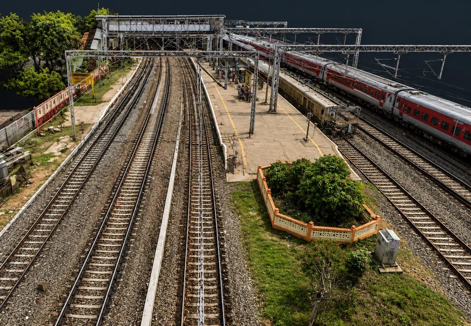
Survey & geospatial services in Chennai
GIS mapping, LiDAR, drone and DGPS survey, BIM and CAD from our Chennai operations centre — for projects across Tamil Nadu, India and worldwide.
MapSphere Solutions LLP runs its operations centre in Anna Nagar West, Chennai. It is where our survey, processing and digital-engineering teams work, and where most of our data production happens.
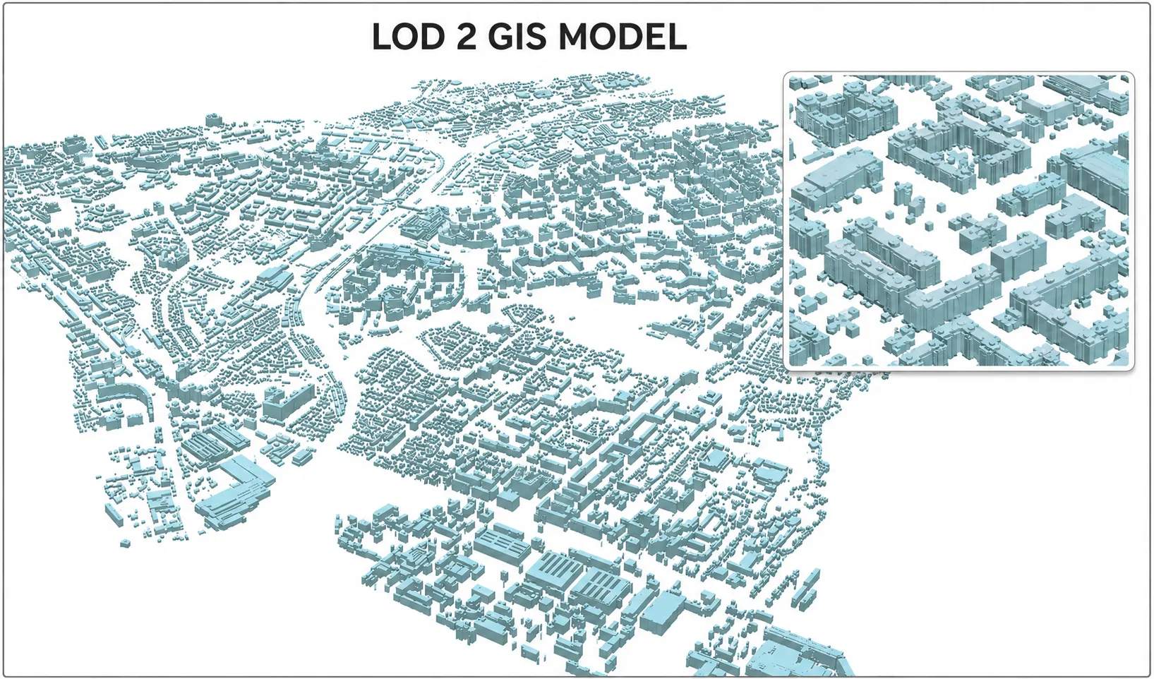
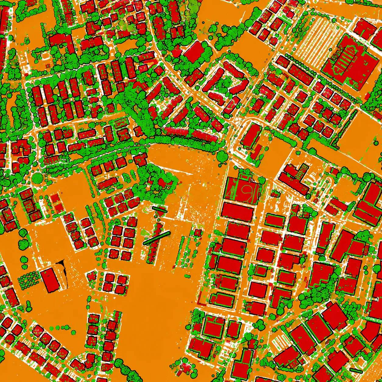
From Chennai we take on field survey and mapping projects across Tamil Nadu and India, and deliver processing work — GIS, LiDAR, point cloud, BIM and CAD — to clients in Singapore and worldwide.
Where we work

MapSphere Solutions LLP
No. 79, V V Koil Street, Thiruvalleeswarar Nagar,
Anna Nagar (W), Chennai – 600 040,
Tamil Nadu, India
Local presence, one accountable team
Chennai operations centre
Survey, processing and engineering teams at No. 79, V V Koil Street, Anna Nagar (W), Chennai 600 040.
Field and office in one team
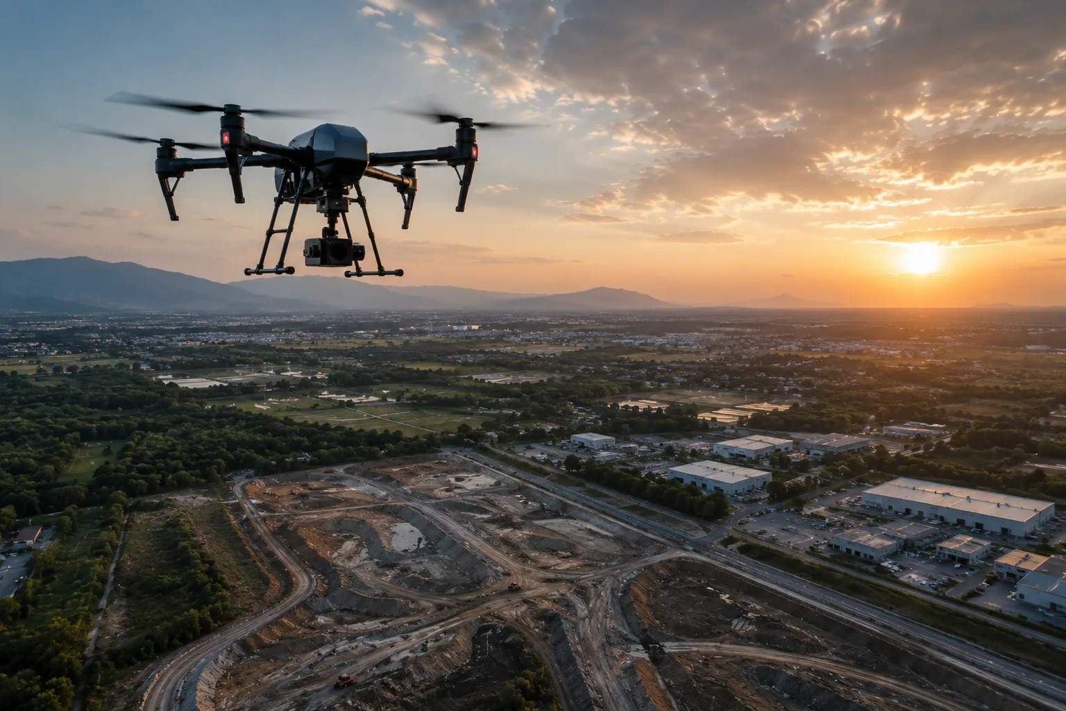
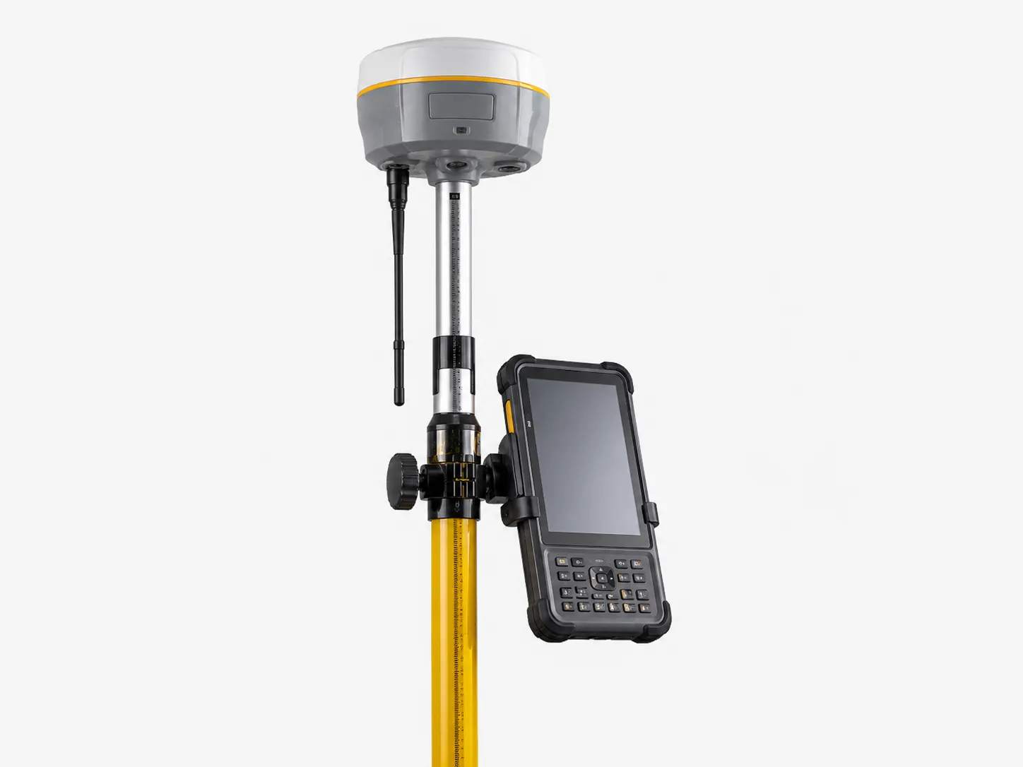
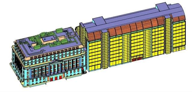
Drone, DGPS, total station and GPR survey alongside GIS, LiDAR, BIM and CAD production, so capture and processing stay with one team.
ISO 9001:2015 certified
Survey and mapping work delivered under a certified quality management system, with QA/QC at every stage.
Services in Chennai
Working with MapSphere in Chennai
Still have a question about your site or project?
Talk to our teamWhere is your Chennai office?
Our operations centre is MapSphere Solutions LLP, No. 79, V V Koil Street, Thiruvalleeswarar Nagar, Anna Nagar (W), Chennai 600 040, Tamil Nadu.
Do you survey outside Chennai?
Yes. Our Chennai team takes on survey and mapping projects across Tamil Nadu and other states in India, and processing work for clients worldwide.
Which coordinate systems do you deliver in?
WGS 84 with the appropriate UTM zone — 43N or 44N for most of Tamil Nadu — or any project-specified datum and projection, confirmed at scoping.
Can you process data another surveyor captured?
Yes. We regularly register, classify and model LiDAR, drone and survey data captured by other vendors, and deliver GIS, CAD or BIM outputs from it.
Planning a project in Chennai?
Tell us about your site and objectives — we'll scope the right survey approach, accuracy, and deliverables.