DGPS / Total Station / GPR Survey
Engineering-grade ground survey, control, and underground utility detection.
MapSphere provides high-precision ground survey using DGPS, RTK GNSS, Total Station, and GPR for positioning, control establishment, engineering layout, and underground utility detection.
Our field teams establish reliable control and capture survey-grade measurements for topographic, route, rail, cadastral, alignment, tunnel, and bridge projects.
Key deliverables
Scope of work
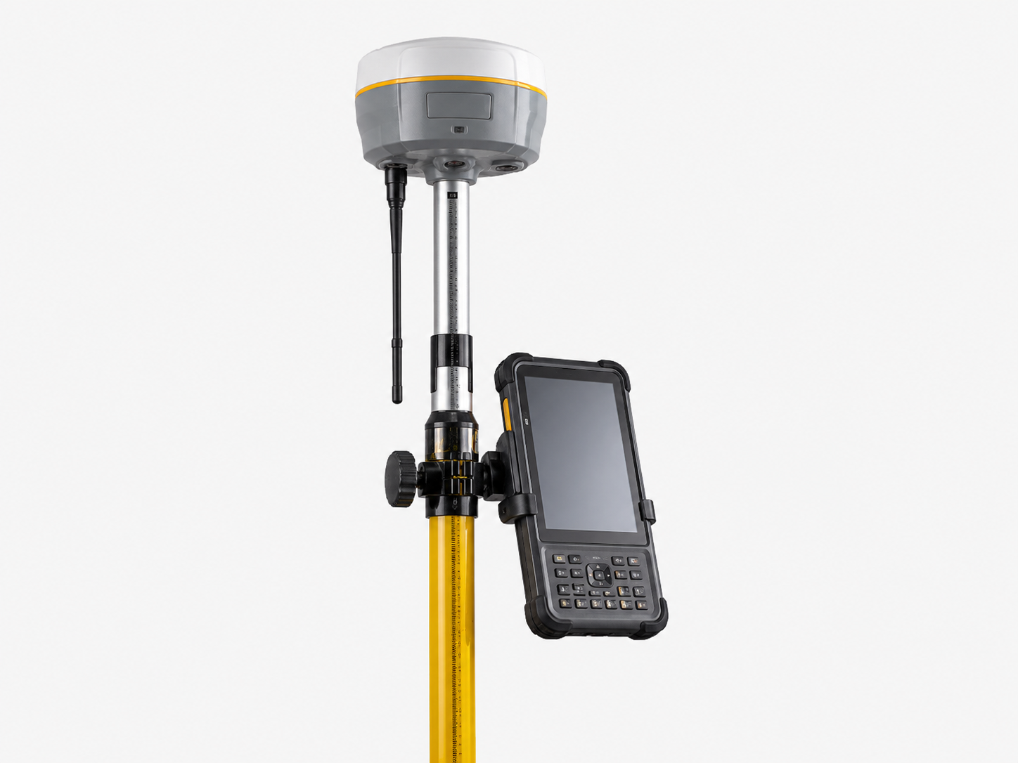
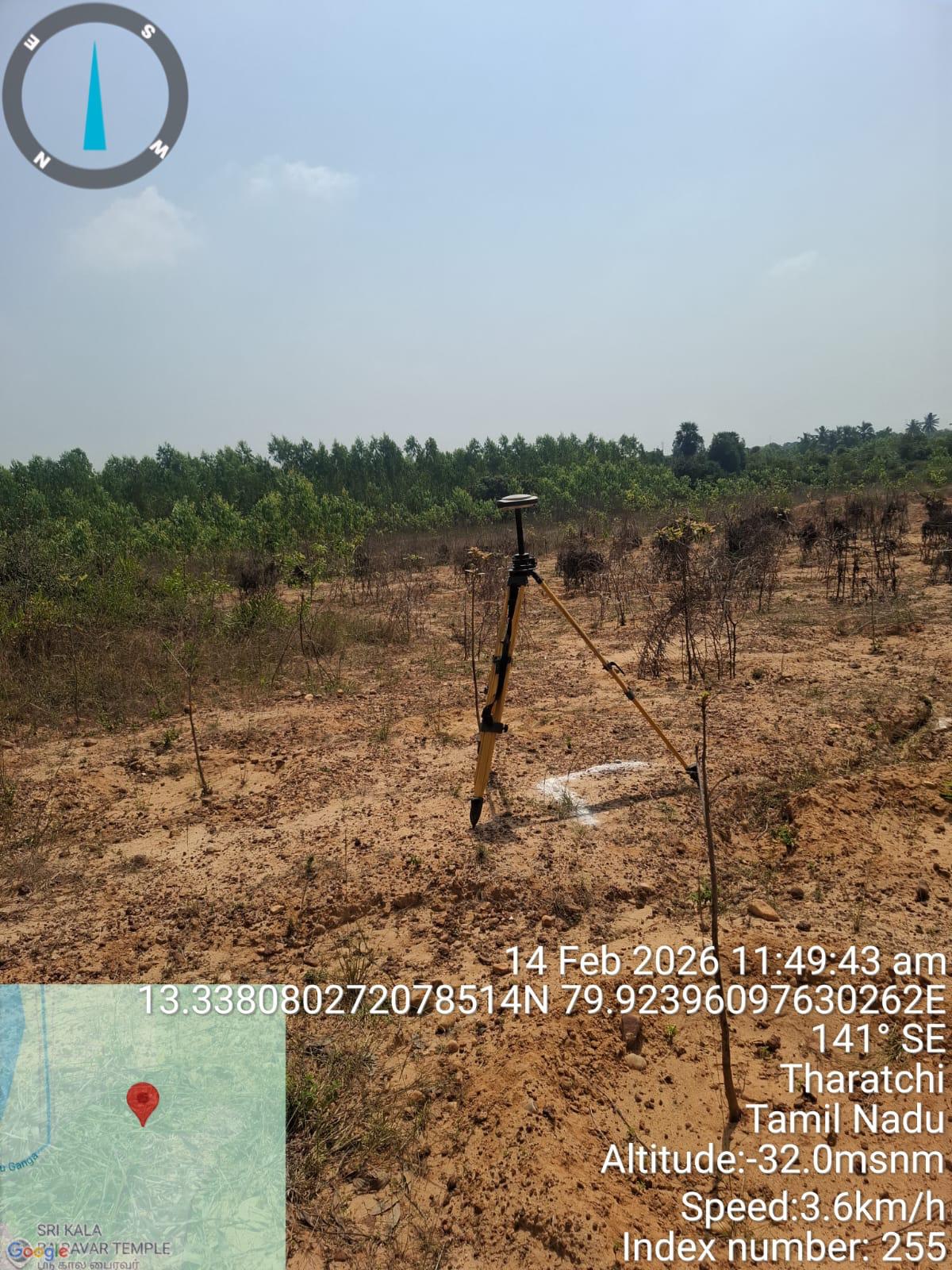
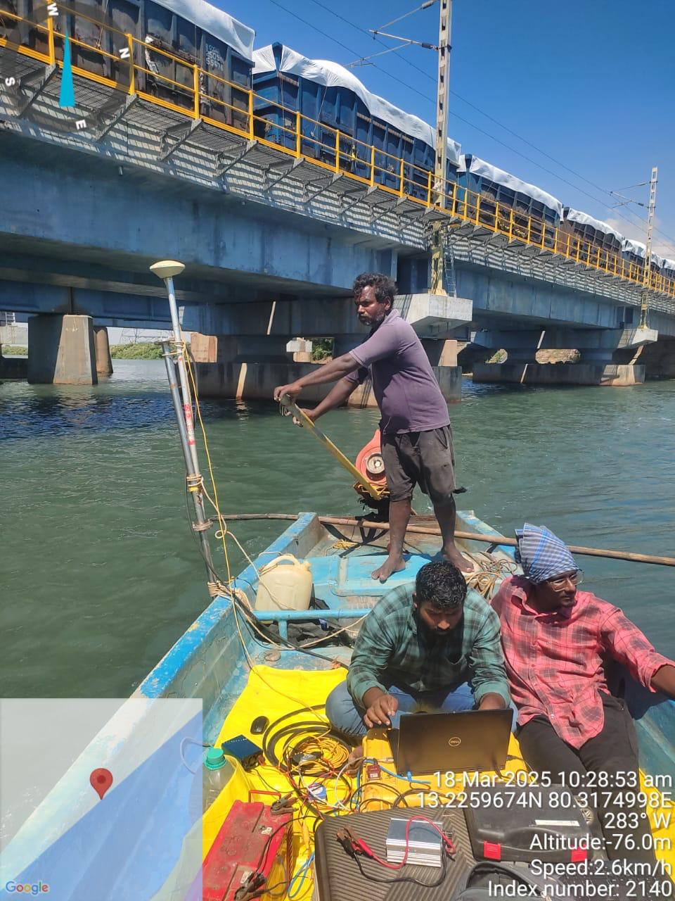
- DGPS & RTK survey
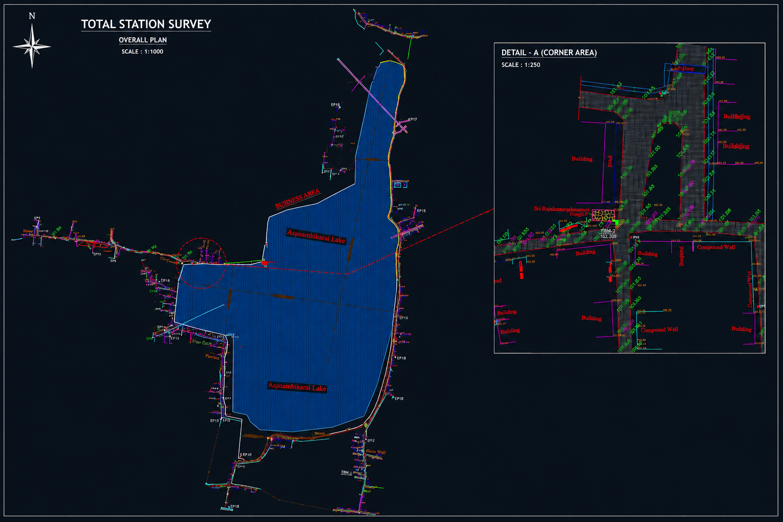
- Total Station survey
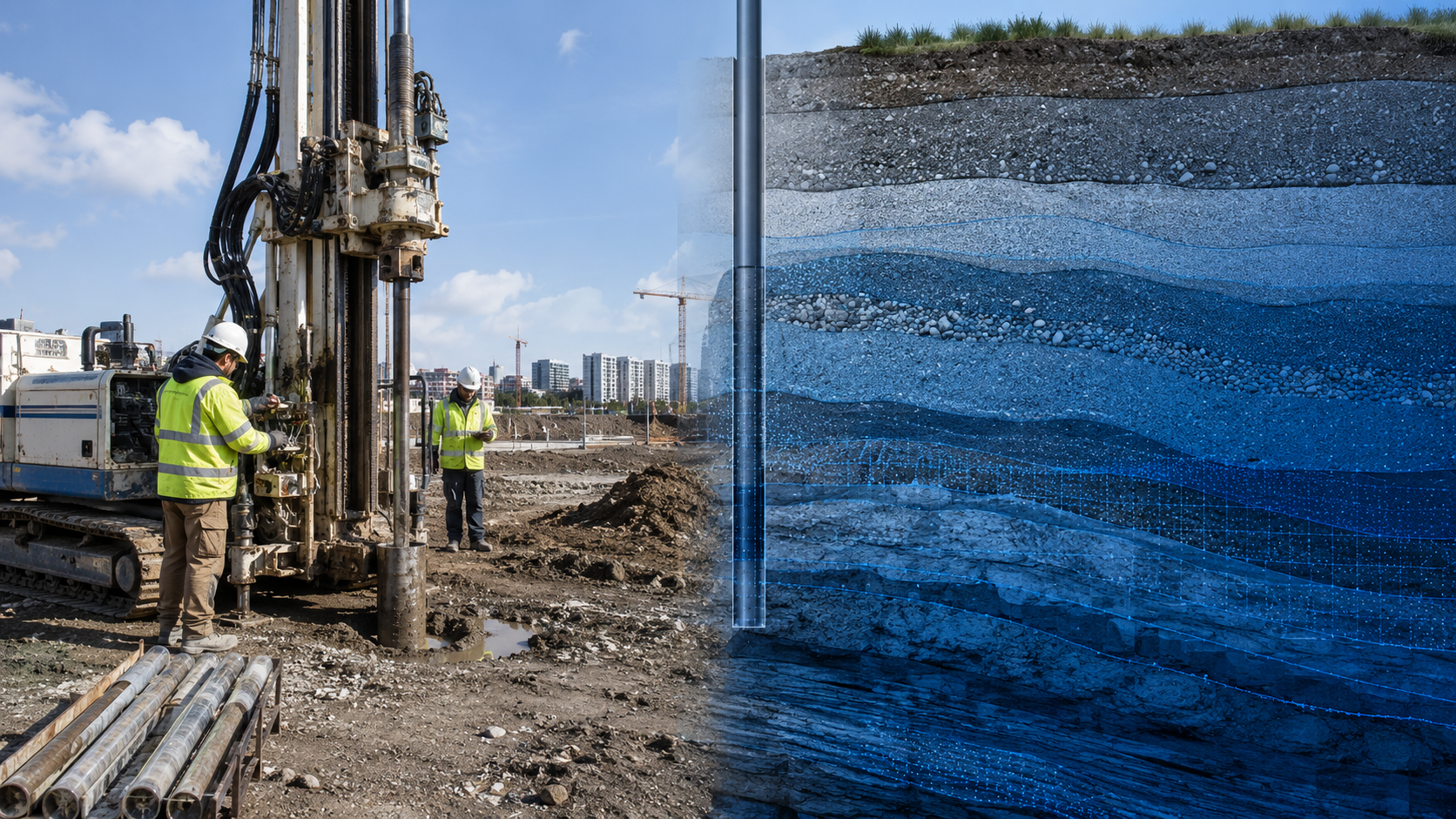
- GPR utility detection
- Control point establishment
- Topographic & route survey
- Road, rail & cadastral survey
- Transmission line & alignment survey
- Tunnel, bridge & levelling survey
What you receive
- Control points
- Coordinate datasets
- Survey reports
- CAD drawings
- Alignment drawings
- Topographic maps
- Utility detection maps
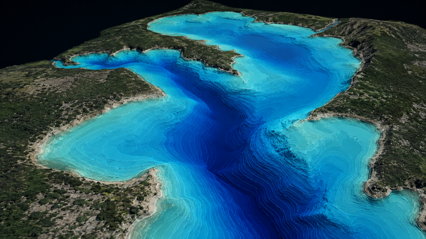
Sample outputs
Where it’s used
How we deliver it
Project Scope
Understand site, objective, deliverables, timeline, and accuracy needs.
Survey Planning
Select the right method — UAV, DGPS, Total Station, LiDAR, GPR, Bathymetry, or hybrid.
Data Capture
Collect field, aerial, scan, image, and control data with approved instruments and trained teams.
Processing & Modeling
Convert raw data into GIS, CAD, BIM, orthophotos, point clouds, DTM/DSM/DEM, and maps.
Quality Validation
Validate accuracy, topology, alignment, coordinate system, completeness, and standards.
Final Delivery
Deliver maps, drawings, reports, spatial databases, models, and decision-ready outputs.
Related services

DGPS / Total Station / GPR — common questions
01When do you use DGPS versus total station?
DGPS/RTK GNSS is ideal for open-sky control and topographic survey at ±1–3 cm; total stations give ±2–5 mm for precise layout, setting-out, and areas with poor satellite visibility. Most projects use both together.
02What can GPR detect underground?
Ground-penetrating radar locates buried utilities, pipes, cables, voids, and reinforcement non-destructively, supporting utility mapping and safe excavation planning.
03Do you establish project control?
Yes — we establish and verify primary and secondary control points on your chosen datum, providing the survey-grade framework that ties every downstream deliverable together.
Start your DGPS / Total Station / GPR project
Share your site and objectives — we’ll scope the right approach and timeline.