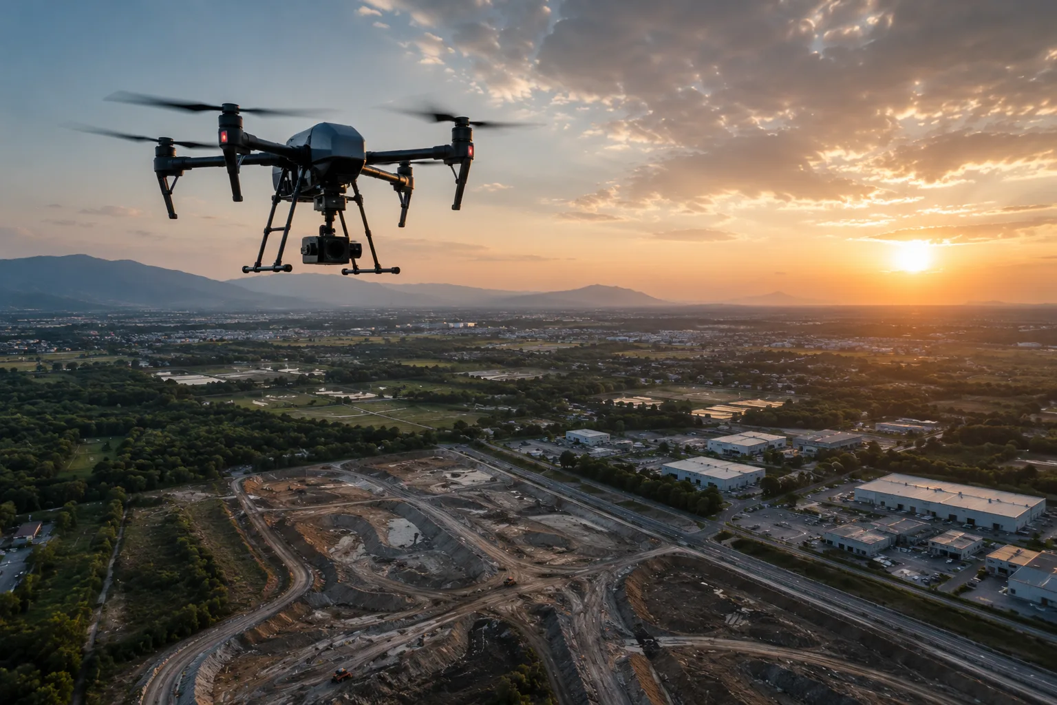
UAV / Drone Survey
Fast, high-resolution aerial mapping, monitoring, and volumetrics.
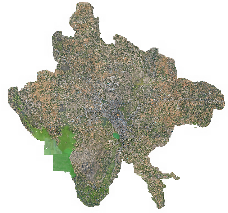
MapSphere uses survey-grade UAV drones and workflows to deliver high-resolution mapping, inspection, monitoring, and terrain analysis with rapid turnaround.
Drone capture supports everything from topographic mapping and corridor analysis to stockpile volumes, construction monitoring, and asset inspection.
Key deliverables
Scope of work
- Drone & aerial mapping
- Orthophoto survey
- UAV photogrammetry
- 3D terrain modeling
- Construction monitoring
- Stockpile volume survey
- Powerline, road & route survey
- Solar & building inspection
- Highway inspection
- Traffic survey
What you receive
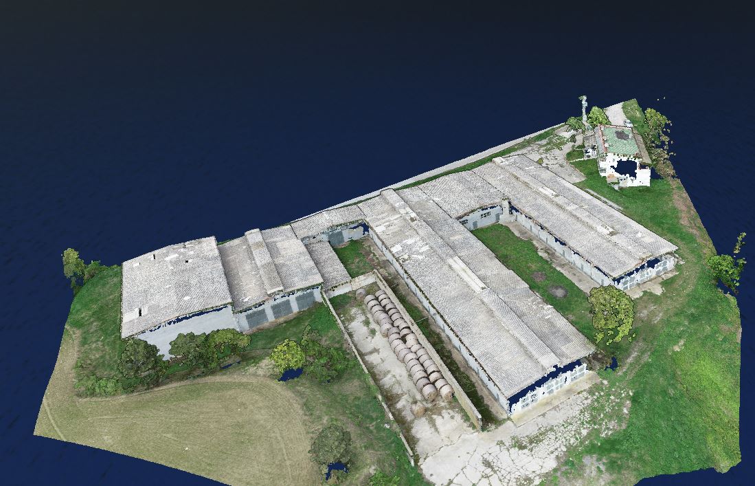
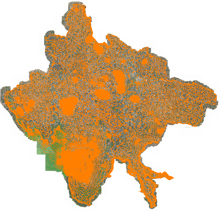
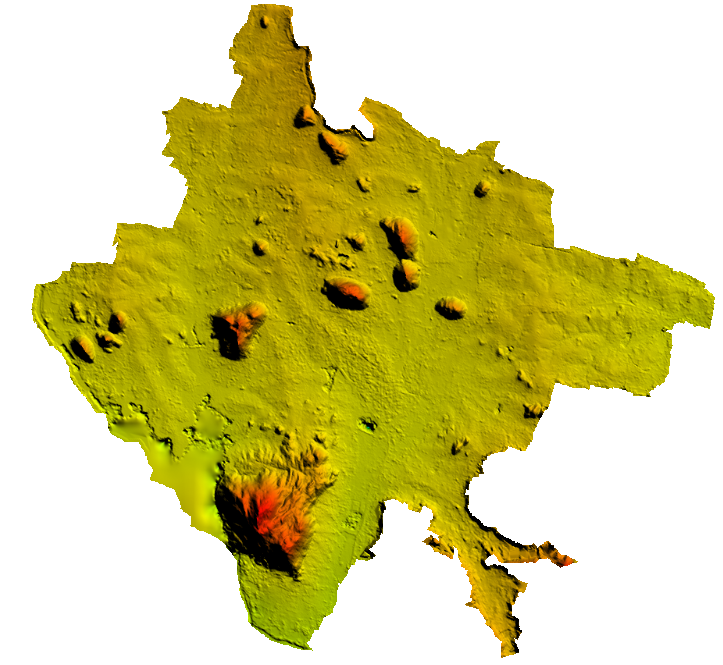
- Orthomosaic maps
- Point clouds
- DSM / DTM
- 3D mesh models
- Contour maps
- Volume reports
- Site progress reports
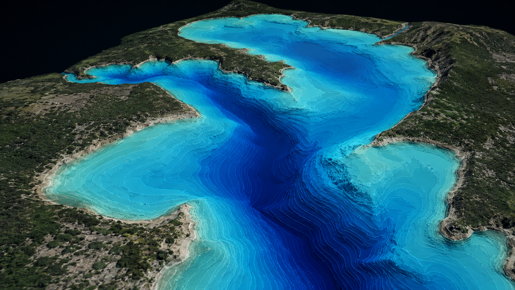
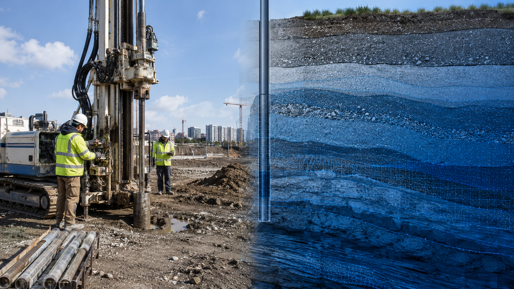
Sample outputs
Where it’s used
How we deliver it
Project Scope
Understand site, objective, deliverables, timeline, and accuracy needs.
Survey Planning
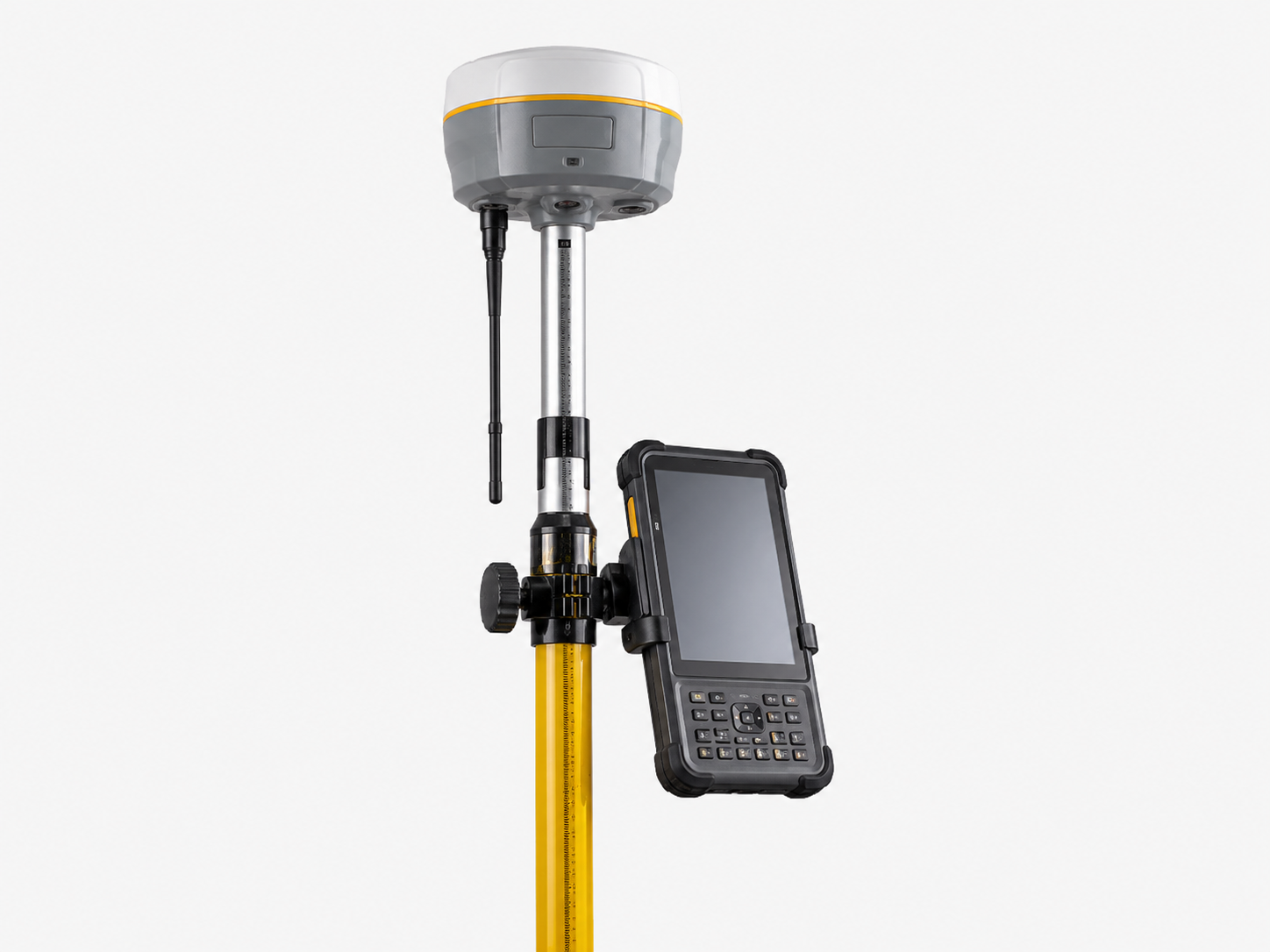
Select the right method — UAV, DGPS, Total Station, LiDAR, GPR, Bathymetry, or hybrid.
Data Capture
Collect field, aerial, scan, image, and control data with approved instruments and trained teams.
Processing & Modeling
Convert raw data into GIS, CAD, BIM, orthophotos, point clouds, DTM/DSM/DEM, and maps.
Quality Validation
Validate accuracy, topology, alignment, coordinate system, completeness, and standards.
Final Delivery
Deliver maps, drawings, reports, spatial databases, models, and decision-ready outputs.
Related services
UAV / Drone Survey — common questions
01How accurate is a drone survey?
With RTK/PPK and ground control, drone photogrammetry delivers ±2–5 cm horizontal accuracy and 1–5 cm GSD. UAV LiDAR adds ±3–5 cm with vegetation penetration for bare-earth terrain.
02How do you plan coverage for a large site?
Coverage depends on the required accuracy, terrain, and airspace. We plan missions around those constraints — for large sites we fly multiple ground-controlled blocks and merge them into a single dataset — so the result is matched to the deliverable.
03What deliverables come from a drone flight?
Orthomosaics, point clouds, DSM/DTM, 3D mesh models, contour maps, volume reports, and periodic site-progress maps.
Start your UAV / Drone Survey project
Share your site and objectives — we’ll scope the right approach and timeline.