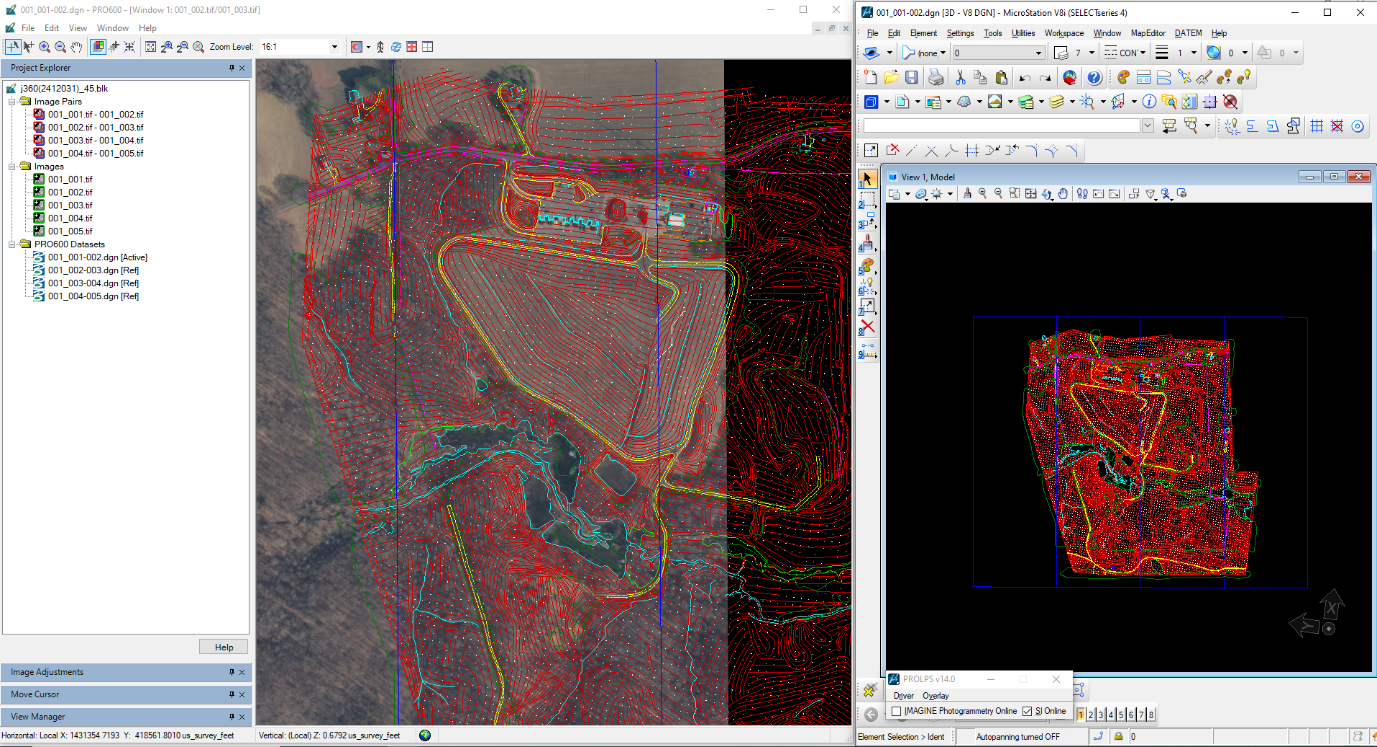
Technology & instruments
A survey-grade hardware and software stack — calibrated, compliant, and ready for demanding field and processing work.
Field & survey hardware
Tap any instrument to view its key capabilities and how we use it on site.
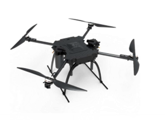
UAV Survey Drone
Compliant aerial mapping and survey across regulated airspace and project sites.
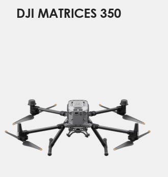
DJI Matrice 350
Heavy-lift RTK platform carrying DJI L2 LiDAR and mapping payloads for terrain, corridor, and asset capture.
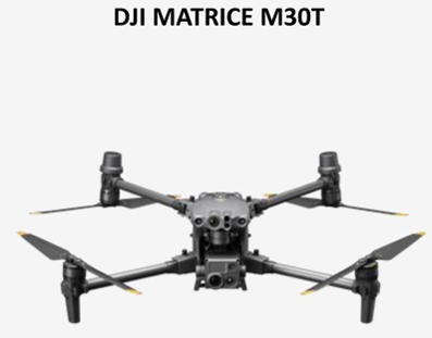
DJI Matrice M30T
Compact thermal + visual platform for inspection, solar, and rapid mapping.
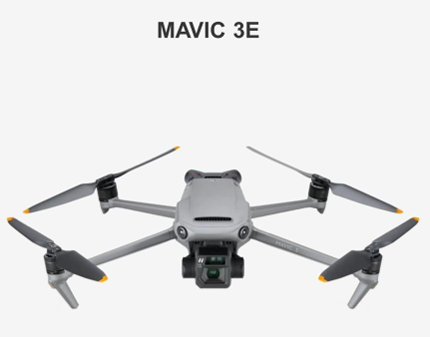
Mavic 3E
Lightweight mapping drone for rapid, high-detail site capture.
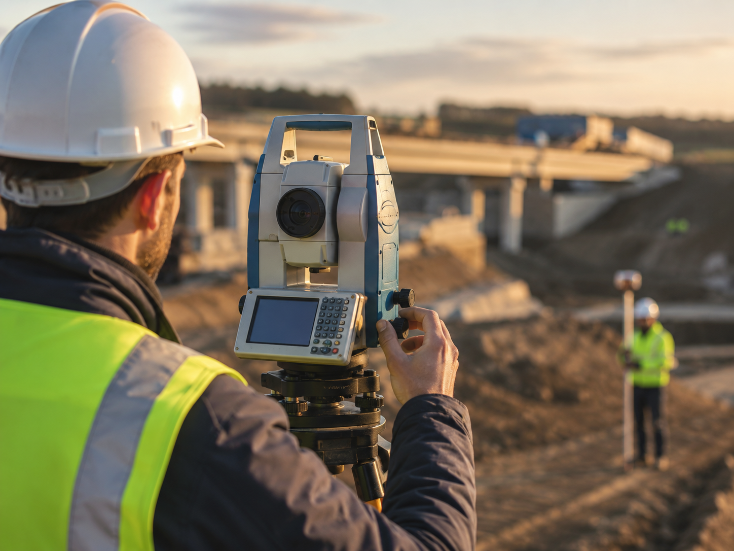
Total Station
Precise engineering layout, topographic, and alignment survey.
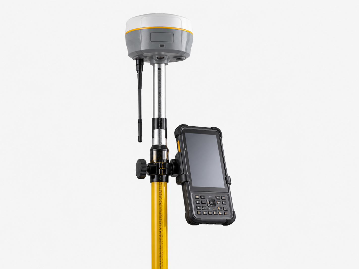
DGPS — SP85 / Trimble R980
Survey-grade RTK positioning and control-point establishment.
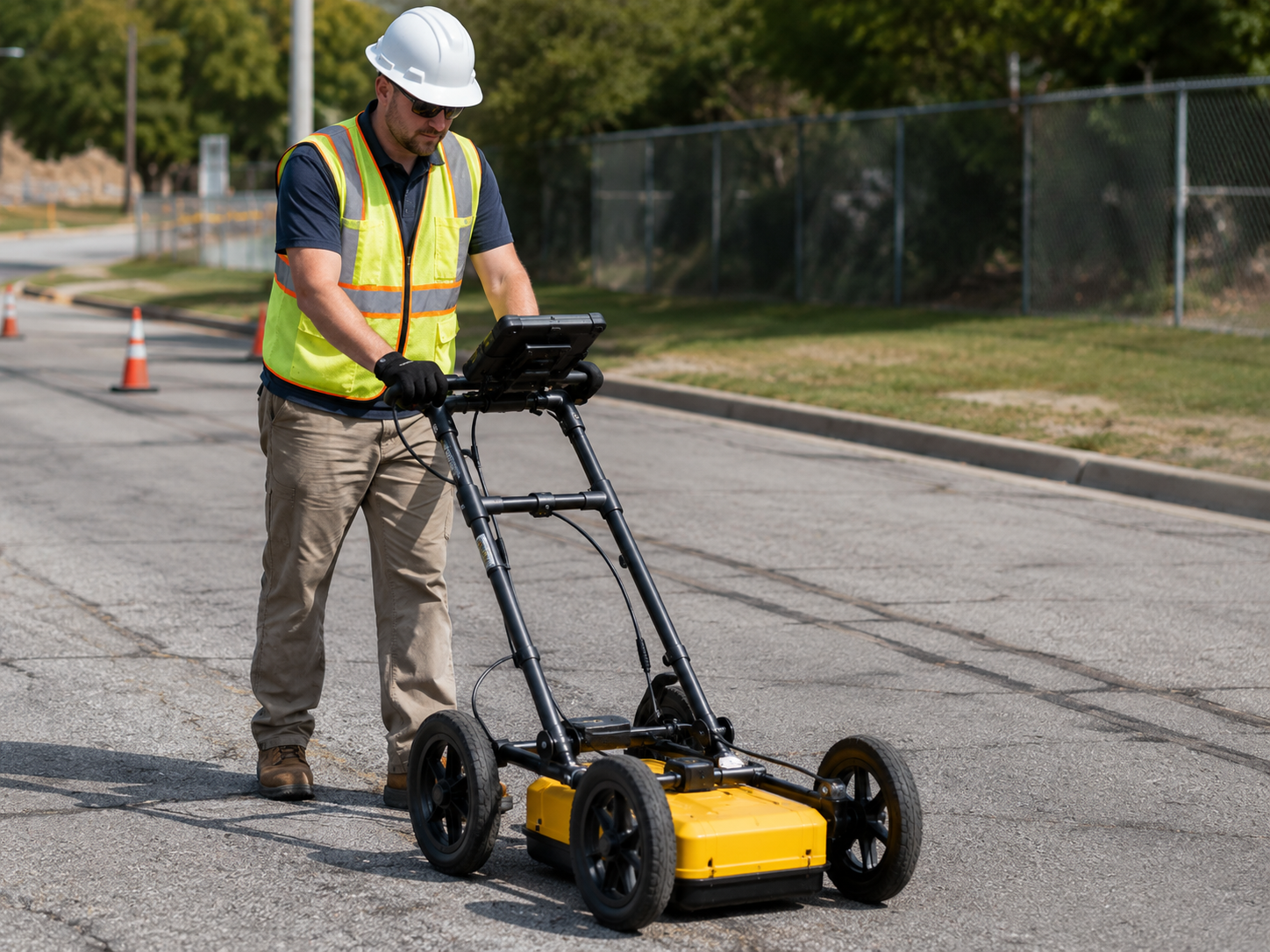
GPR — Ground Penetrating Radar
Underground utility detection and subsurface investigation.
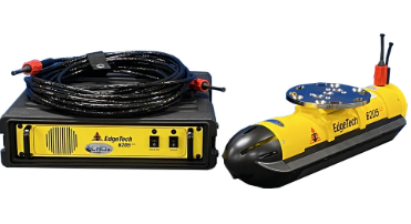
Bathymetry — Dual Beam Echo Sounder
Underwater terrain and depth mapping for water bodies.
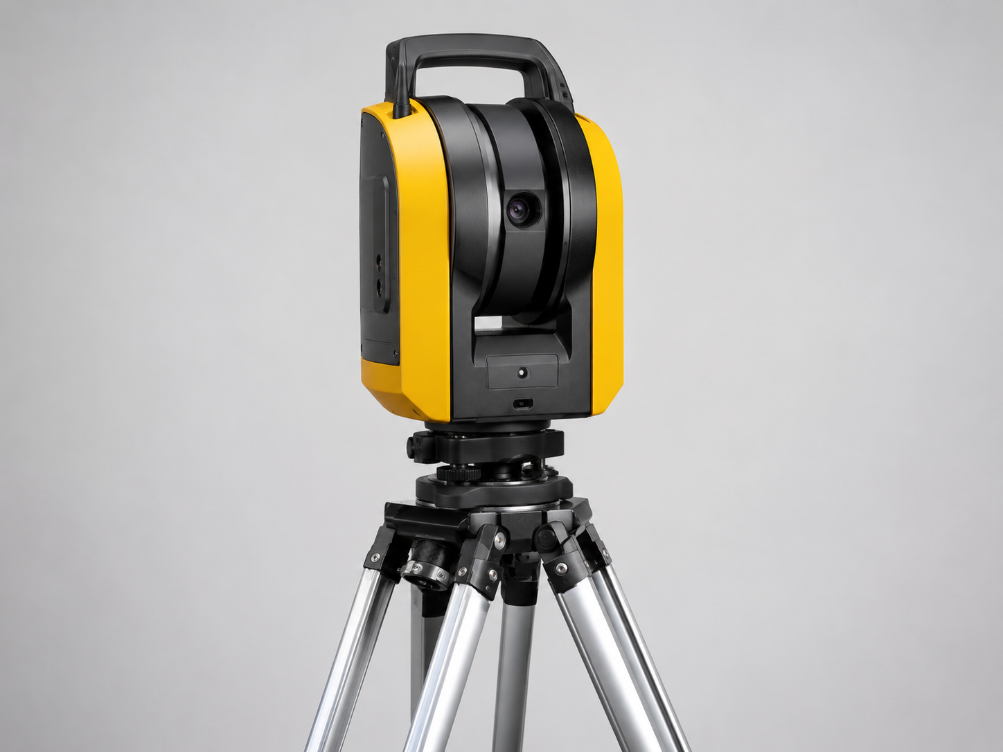
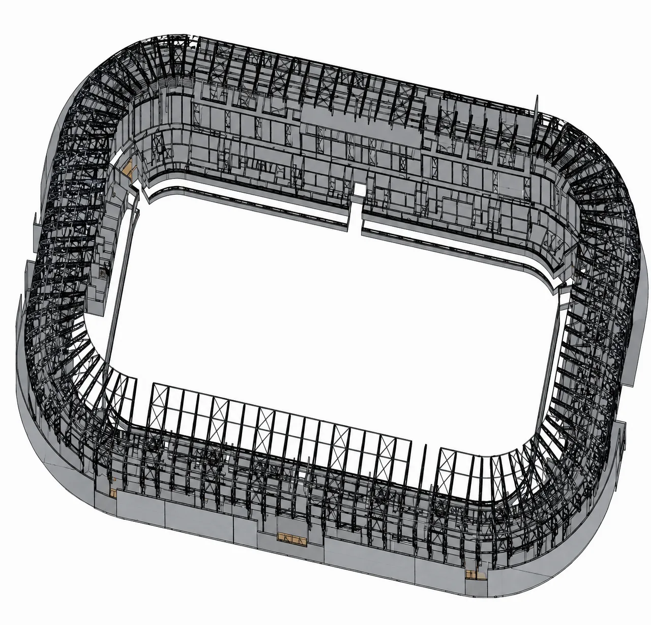
Trimble X9 — Terrestrial Laser Scanner
High-resolution static 3D laser scanning for as-built, BIM, and infrastructure.
Standards we follow
Every deliverable is validated to internationally recognized survey, GIS, BIM, and CAD standards.
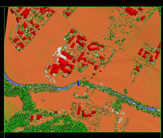
Survey & LiDAR
- ASPRS Positional Accuracypass
- ASPRS LiDAR Accuracypass
- USGS LiDAR Base Specpass
- RICS Survey Standardspass
±1–2 mm
TLS / Trimble X9 @ 20 m
10,000+
pts/m² point density
±1 cm
DGPS / RTK control
GIS & Geospatial
Coordinate systems
BIM
100
200
300
400
500
CAD
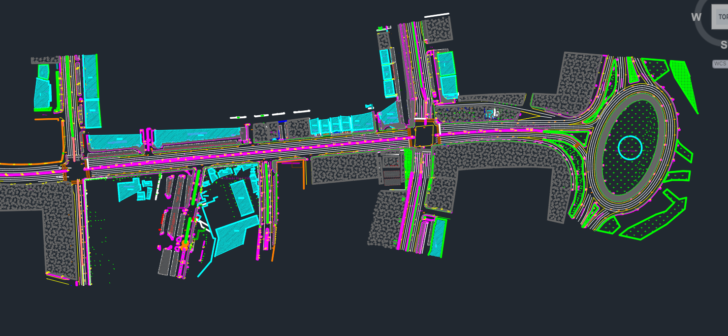
- Planimetric & topographic
- Utility networks
- Road / corridor