
Road Inventory & Asset Management
Mobile mapping and GIS asset registers for road furniture, signage, and condition data.
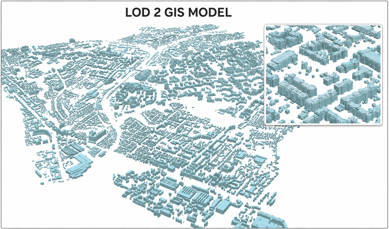
Maintaining a road network means knowing what assets exist and what condition they're in. MapSphere's mobile mapping captures road furniture, signage, markings, and pavement in a single drive-through, feeding a structured GIS asset register.
The result supports condition surveys, maintenance prioritization, and lifecycle planning.
Relevant services
Use cases
What this sector demands
Thousands of dispersed assets
Mobile LiDAR and 360° imagery capture every roadside asset in one pass, geolocated and attributable.
Consistent condition data
Standardized extraction yields comparable condition layers across the network.
Keeping the register current
Repeatable mobile surveys make periodic updates fast and affordable.
What you receive
- Asset inventories
- GIS registers
- Condition layers
- 360° datasets
How we deliver it
We drive the network with mobile LiDAR and 360° cameras, extract and attribute assets, and build a GIS register with condition layers.
Deliverables include asset inventories, GIS registers, condition layers, and 360° reference datasets.
Services we apply here


Road Inventory & Asset Management — common questions
01What assets can you inventory?
Signage, road furniture, markings, kerbs, drainage, lighting, and pavement — extracted from mobile LiDAR and 360° imagery and attributed in GIS.
02How is condition captured?
We extract standardized condition attributes alongside each asset so the network can be scored, compared, and prioritized for maintenance.
03Can the register be updated over time?
Yes. Repeat mobile surveys efficiently refresh the inventory and condition layers, keeping the asset register current.
Planning a road inventory & asset management project?
Tell us about your site and objectives — we'll scope the right survey approach, accuracy, and deliverables.