
Mining & Quarrying
Drone and LiDAR terrain modeling and volumetrics for safe, accountable operations.
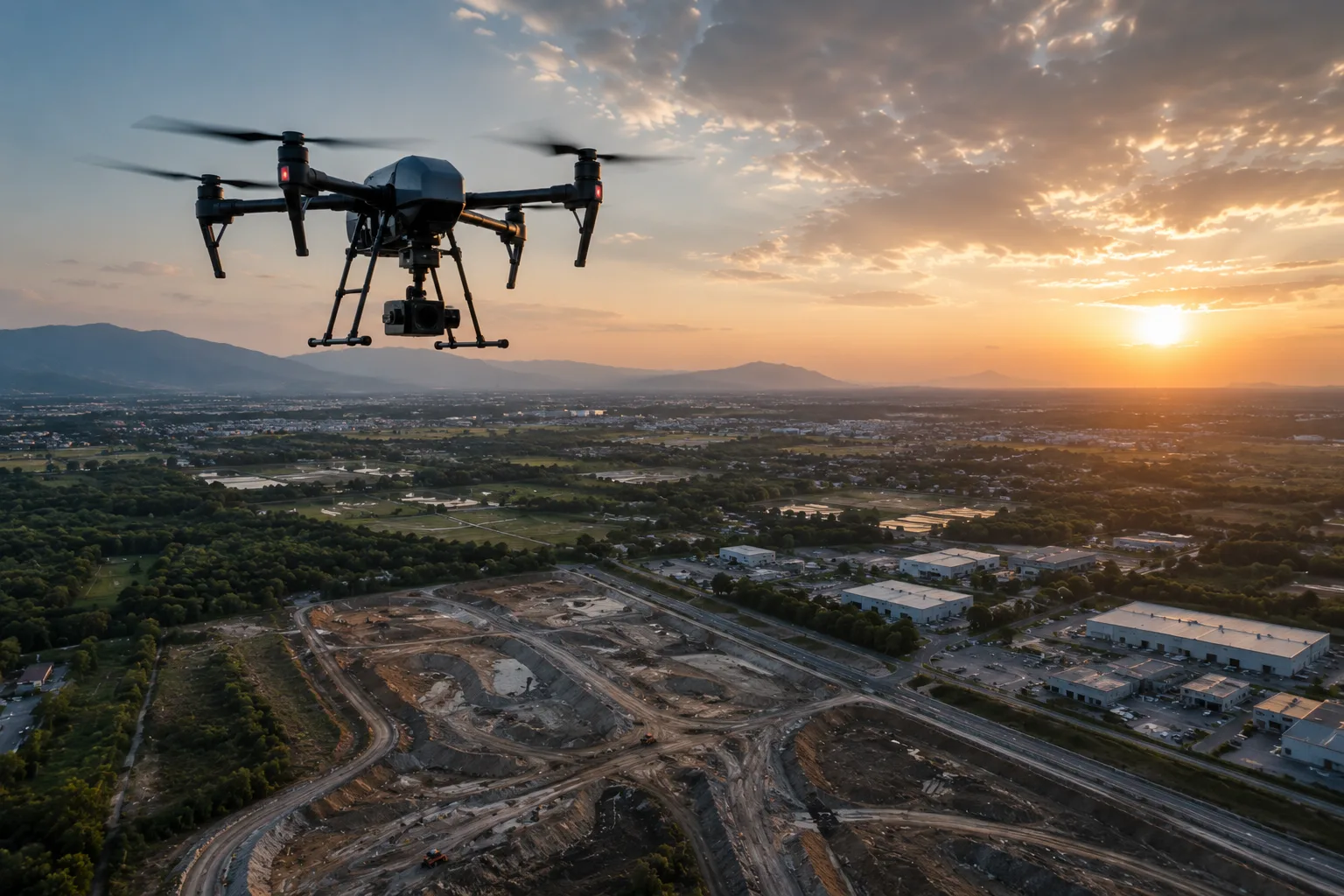
Mines and quarries need frequent, defensible measurement of a constantly changing surface. MapSphere flies sites with survey-grade drones and LiDAR to deliver stockpile volumes, cut-fill, and terrain models on a repeatable cycle.
Our data supports reconciliation, pit monitoring, and earthwork planning while keeping crews off unstable ground.
Relevant services
Use cases
What this sector demands
Constantly changing surface
Rapid drone capture provides up-to-date terrain whenever volumes are needed.
Defensible volumes
Ground-controlled surfaces produce auditable stockpile and cut-fill figures for reconciliation.
Safety on unstable ground
Aerial capture measures faces and benches without putting surveyors at the edge.
What you receive
- Stockpile volumes
- Cut-fill reports
- Terrain models
- Progress maps
How we deliver it
We establish control, fly the site with drone photogrammetry and/or LiDAR, and compute volumes and terrain models on a regular cycle.
Deliverables include stockpile volumes, cut-fill reports, terrain models, and progress maps.
Services we apply here


Mining & Quarrying — common questions
01How accurate are drone stockpile volumes?
With RTK/PPK and ground control, drone photogrammetry delivers ±2–5 cm surfaces, giving defensible stockpile and cut-fill volumes backed by an auditable surface and report suitable for reconciliation.
02How often can you survey?
On a regular monthly or campaign cycle — rapid drone capture makes frequent, repeatable volume surveys practical and affordable.
03Is it safer than ground survey?
Yes. Aerial capture measures highwalls, faces, and benches remotely, keeping surveyors away from unstable edges and active areas.
Planning a mining & quarrying project?
Tell us about your site and objectives — we'll scope the right survey approach, accuracy, and deliverables.