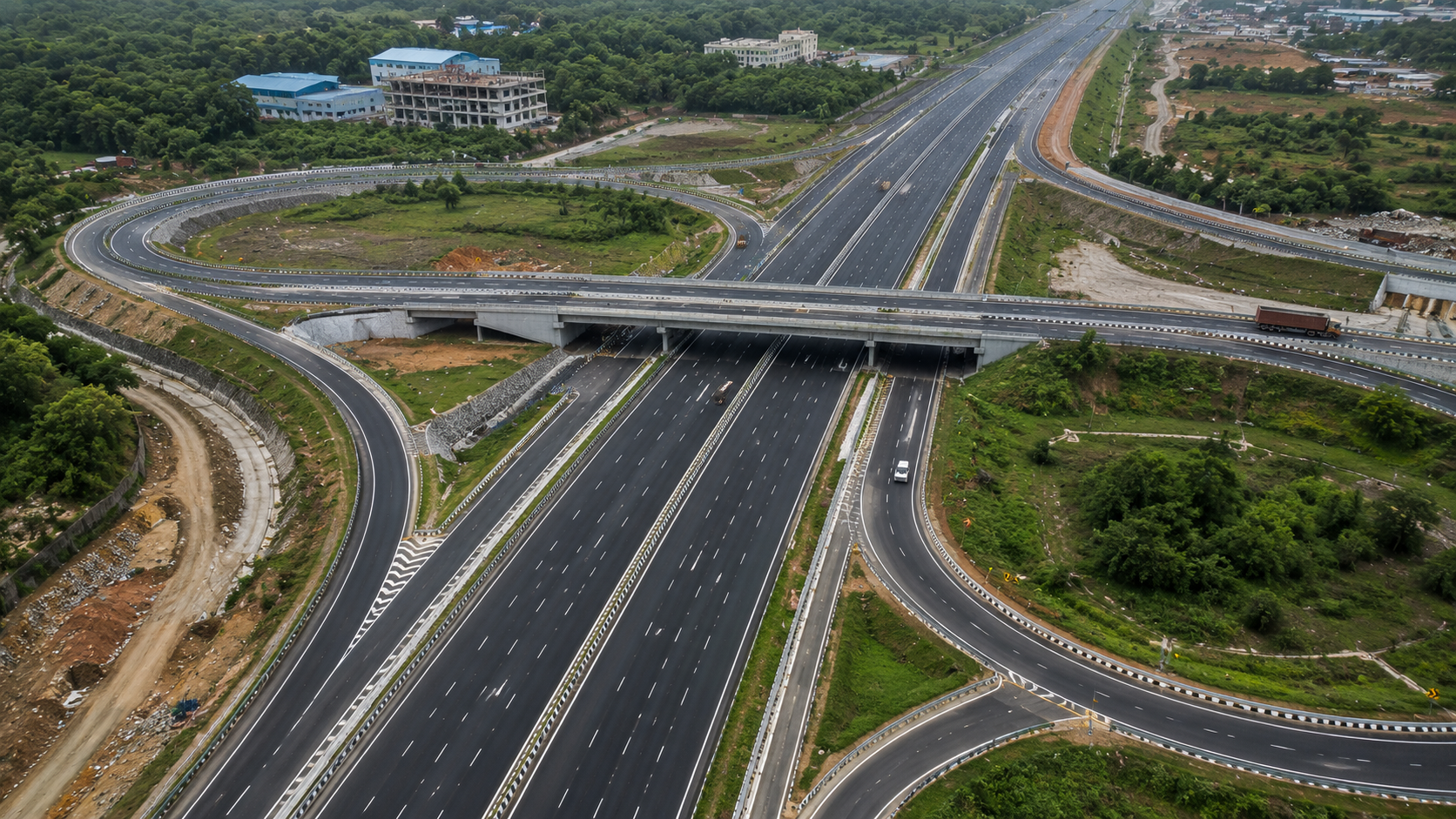
Highways & Road Corridors
Corridor survey, alignment, and terrain modeling that accelerate road design and construction monitoring.
Road and highway projects live and die on the quality of the corridor model. MapSphere captures long, linear corridors quickly and accurately using mobile and airborne LiDAR, RTK drone photogrammetry, and ground control, then turns billions of points into alignment-ready terrain and asset data.
From greenfield route studies to widening, rehabilitation, and construction monitoring, we deliver the base layers that engineering and asset teams design and build against.
Relevant services
Use cases
What this sector demands
Long linear extents
Corridors can span tens or hundreds of kilometres. Mobile LiDAR and UAV capture cover ground far faster than conventional walking survey, without closing the road.
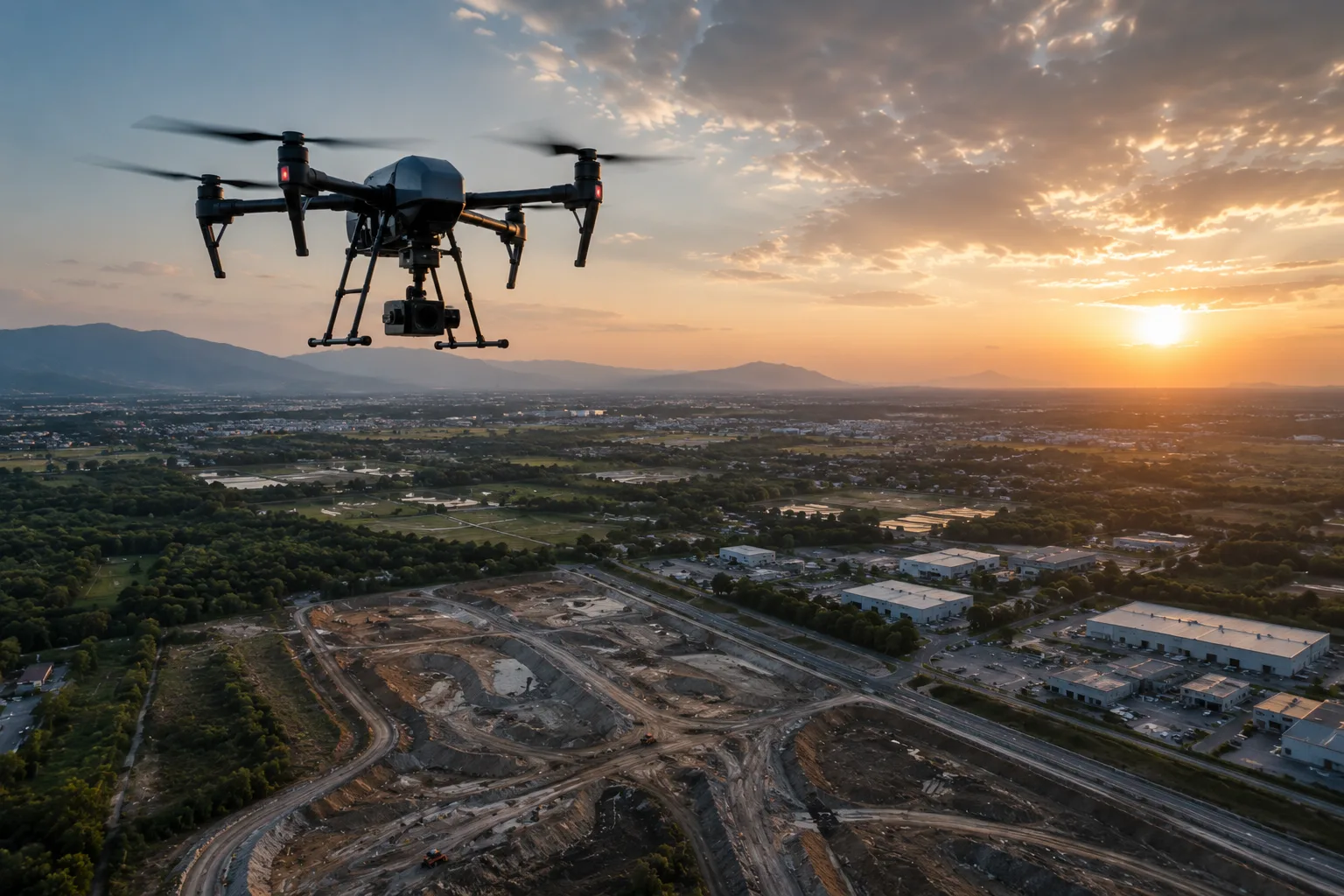
Live, trafficked sites
Mobile mapping and drone capture acquire data at traffic speed, minimizing lane closures and keeping crews out of harm's way.
Design-ready accuracy
Tight vertical tolerances for alignment and drainage demand ground-controlled, validated data — not raw exports.
What you receive
- Alignment drawings
- Corridor point clouds
- DTM / DEM
- Progress maps
How we deliver it
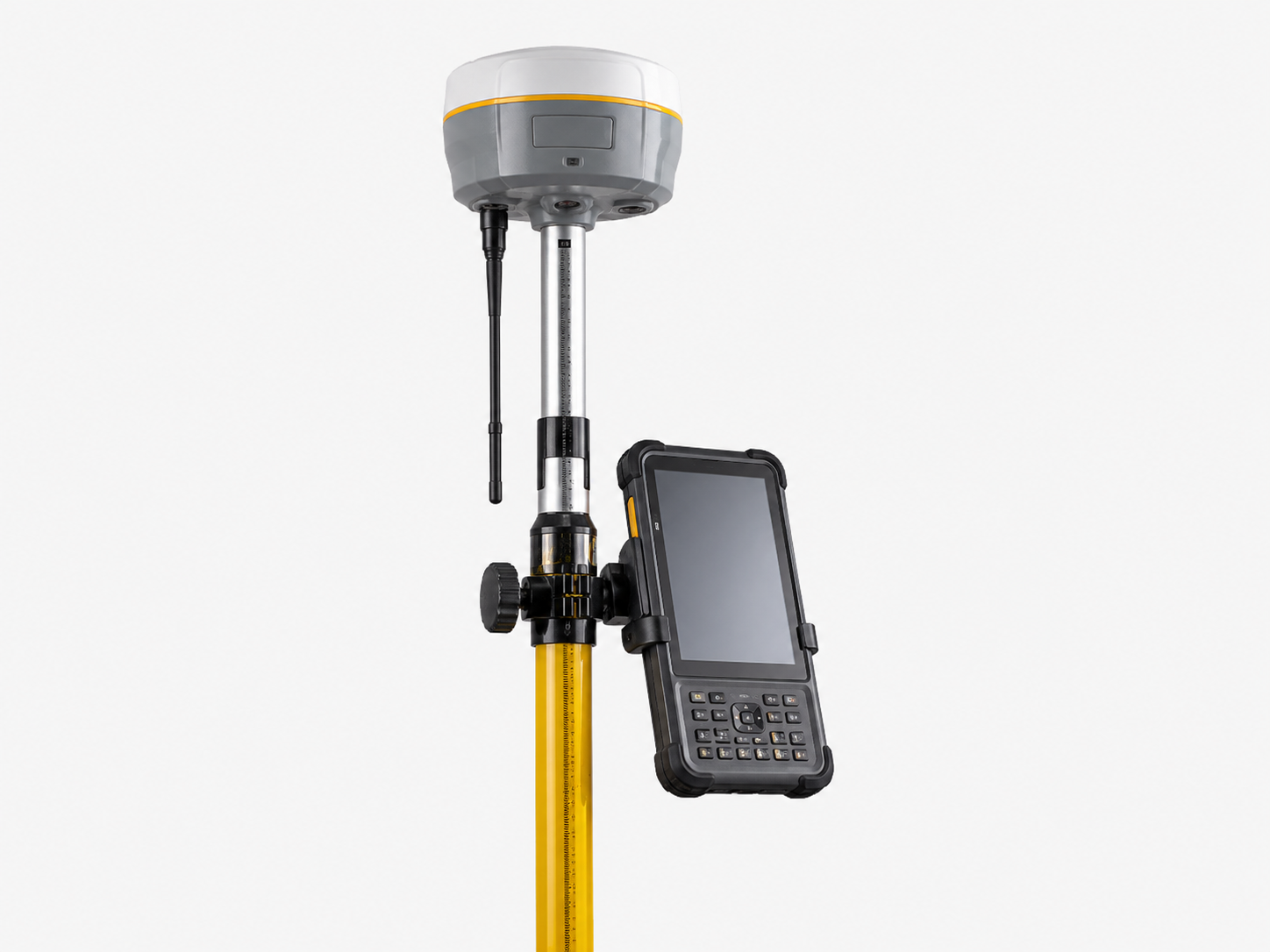
We establish DGPS/RTK control along the corridor, capture with the right platform for the terrain and accuracy target, and classify the cloud to a clean bare-earth surface.
Deliverables — alignment drawings, classified corridor point clouds, DTM/DEM, cross-sections, and progress orthophotos — drop straight into Civil 3D, MicroStation, and GIS workflows.
Services we apply here


Highways & Road Corridors — common questions
01How do you survey a highway corridor without closing it?
Mobile LiDAR mounted on a survey vehicle captures the corridor at traffic speed, and UAV flights acquire from above — both avoid the lane closures and exposure of conventional ground survey while delivering ±1–5 cm accuracy with ground control.
02What deliverables support road design?
Classified corridor point clouds, bare-earth DTM/DEM, alignment and cross-section drawings, and orthophotos — formatted for Civil 3D, MicroStation, and GIS.
03Can you monitor construction progress?
Yes. Repeat drone flights produce periodic orthophotos, surfaces, and earthwork volumes so you can track progress and reconcile quantities over the build.
Planning a highways & road corridors project?
Tell us about your site and objectives — we'll scope the right survey approach, accuracy, and deliverables.