

Your world, with precision
Survey-grade BIM, CAD, LiDAR, GIS and drone solutions — turning field data into decision-ready spatial intelligence for infrastructure and industry.
Geospatial engineering, built for modern infrastructure
We translate complex ground reality into accurate, standards-compliant spatial data.

Services
12
Specialist geospatial and engineering services.
Sectors
12
Sectors supported, from highway corridors to municipal GIS.
Instruments
9
Survey instruments and platforms in our field stack.
Field to digital intelligence, traced end to end

Field & aerial data acquisition
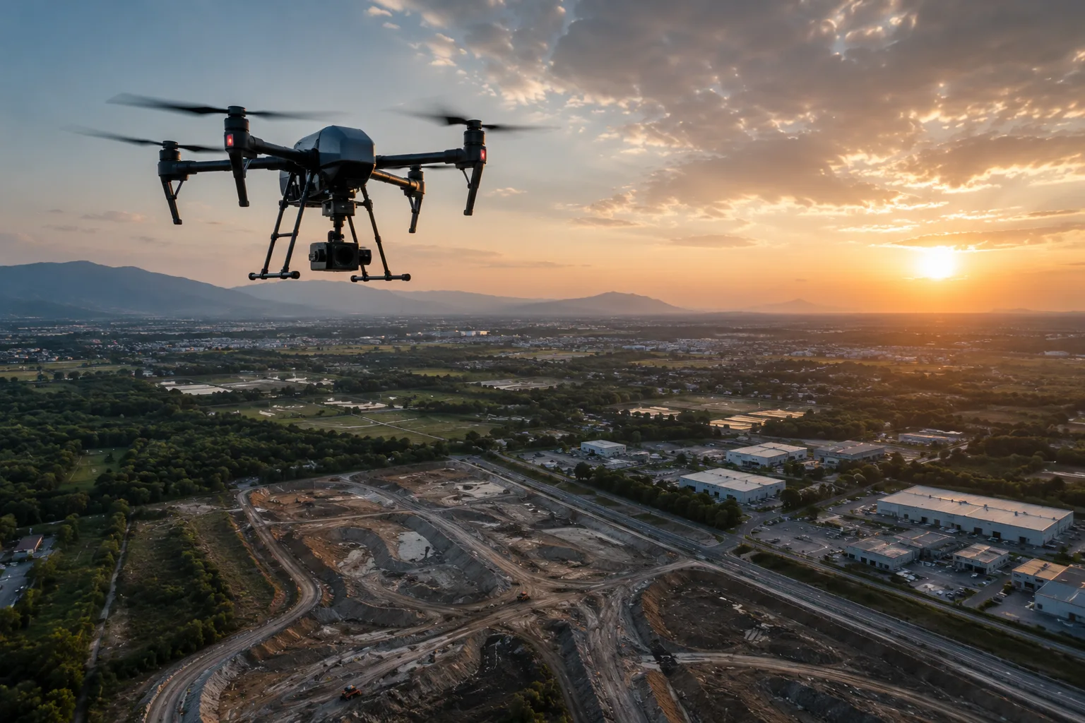
Drones, LiDAR, DGPS, total stations, GPR and bathymetric sensors capture the ground, anchored by ground control.

Point clouds into clean, classified data
Scans, imagery and LiDAR returns are registered, classified and refined.

GIS, CAD & BIM deliverables
Clean data becomes GIS layers, as-built BIM, CAD drawings, DTM/DSM/DEM and 3D models, built to your specification.

Documented handover
Maps, models, drawings and spatial databases, handed over with documentation and ongoing support.
Deliverables, not just data
Every capture we fly and scan comes back as _

BIM Modeling
Scan-to-BIM, coordination, clash detection, and as-built models.

CAD Services
Clean, standardized CAD drawings from survey, GIS, raster, and field data.

PLS-CADD
PLS-CADD transmission line modeling, sag-tension, and tower spotting.
Industries


Two production hubs, delivery worldwide
Our offices in India and Singapore run survey, processing, and digital-engineering production — serving infrastructure, utility, and smart-city projects across continents.

- IndiaMapSphere LLP
- SingaporeMapSphere PTE LTD
Built for accuracy. Ready for scale.
End-to-end workflow

From ground control to final delivery, handled in one accountable pipeline.

Survey-grade accuracy
Calibrated instruments, ground control, and validation at every stage.
Advanced instruments
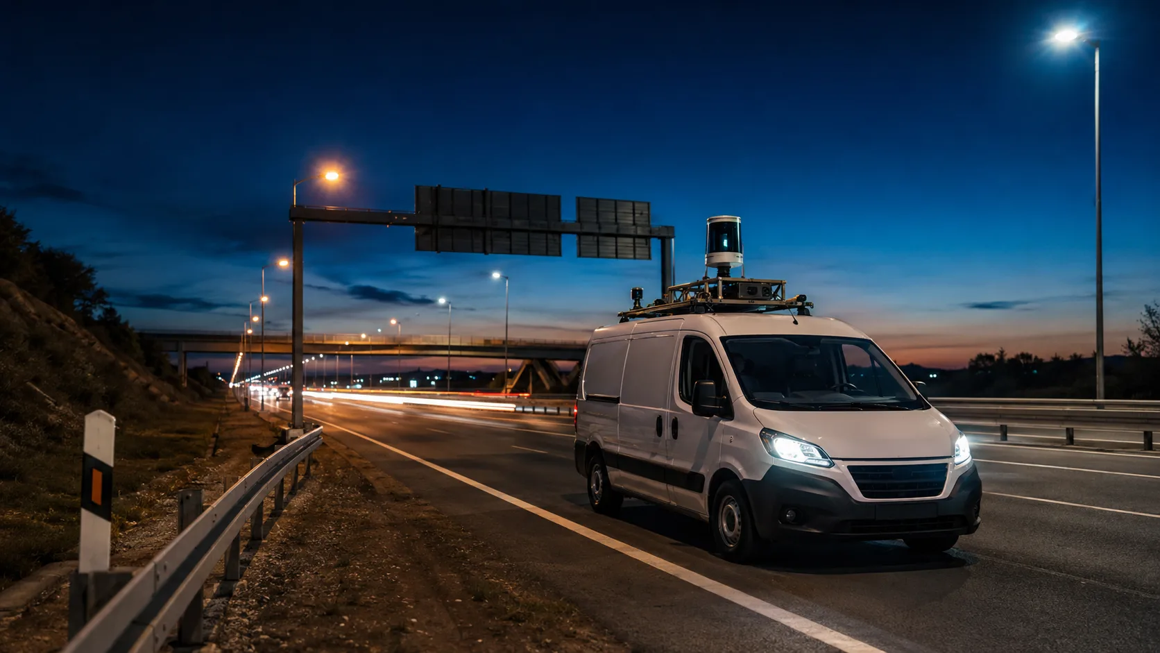
UAVs, LiDAR, GPR, bathymetry, and laser scanning in-house.

GIS · LiDAR · BIM · CAD
Deep expertise across the full geospatial and digital-engineering stack.
Quality-assured outputs
Multi-stage QA before anything reaches your inbox.
International standards

India-based teams delivering to global specifications and formats.

Need maps, models, or spatial data?
Talk to MapSphere Solutions about your site, corridor, asset, infrastructure, or development project.